- Home
- Products
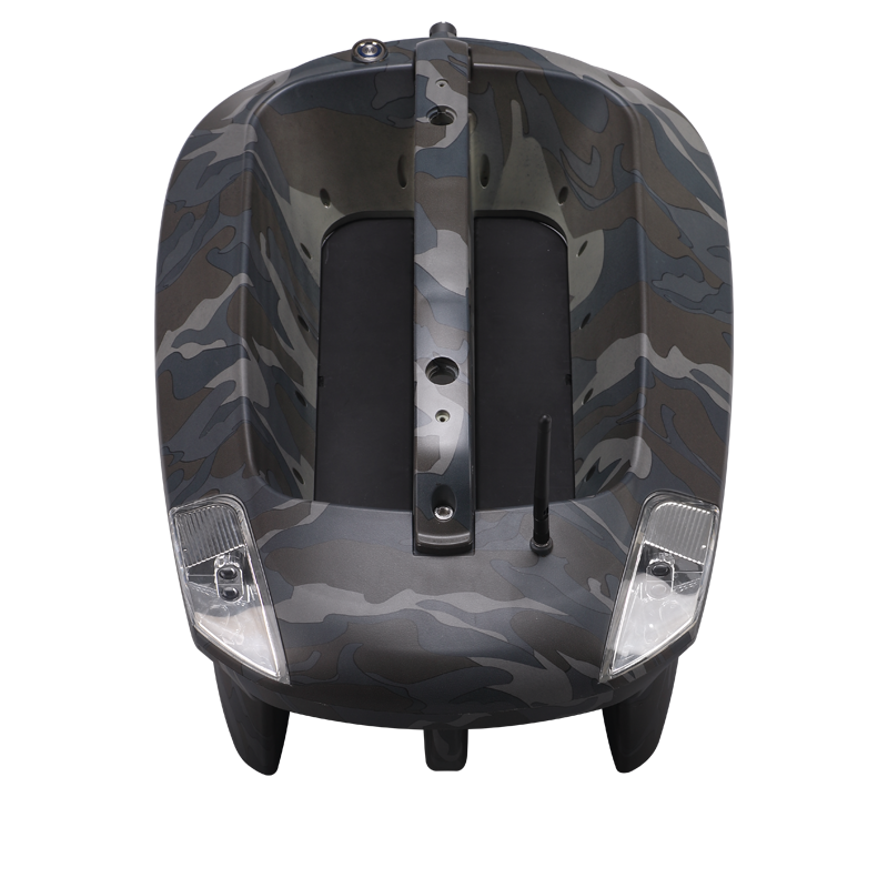
- Bait Boat
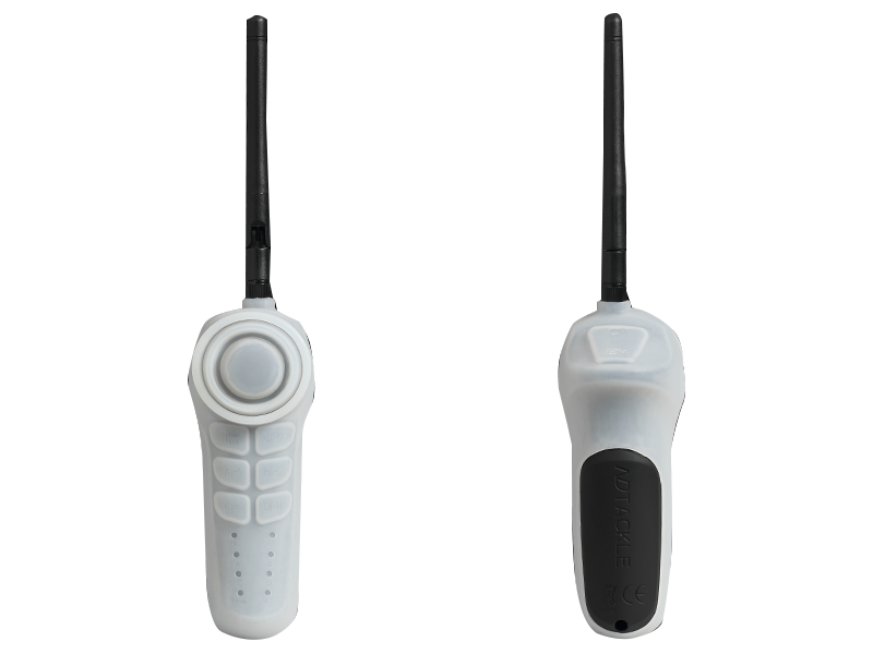
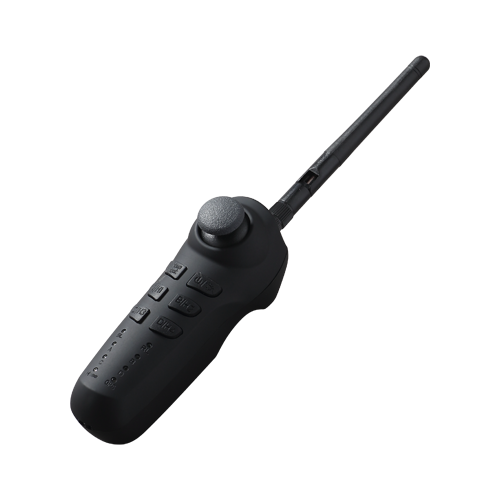
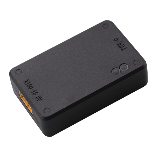
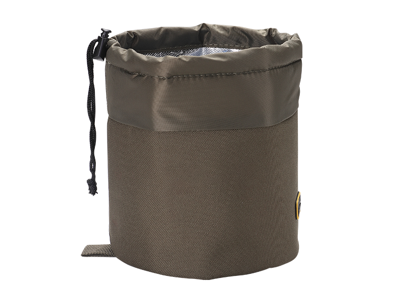
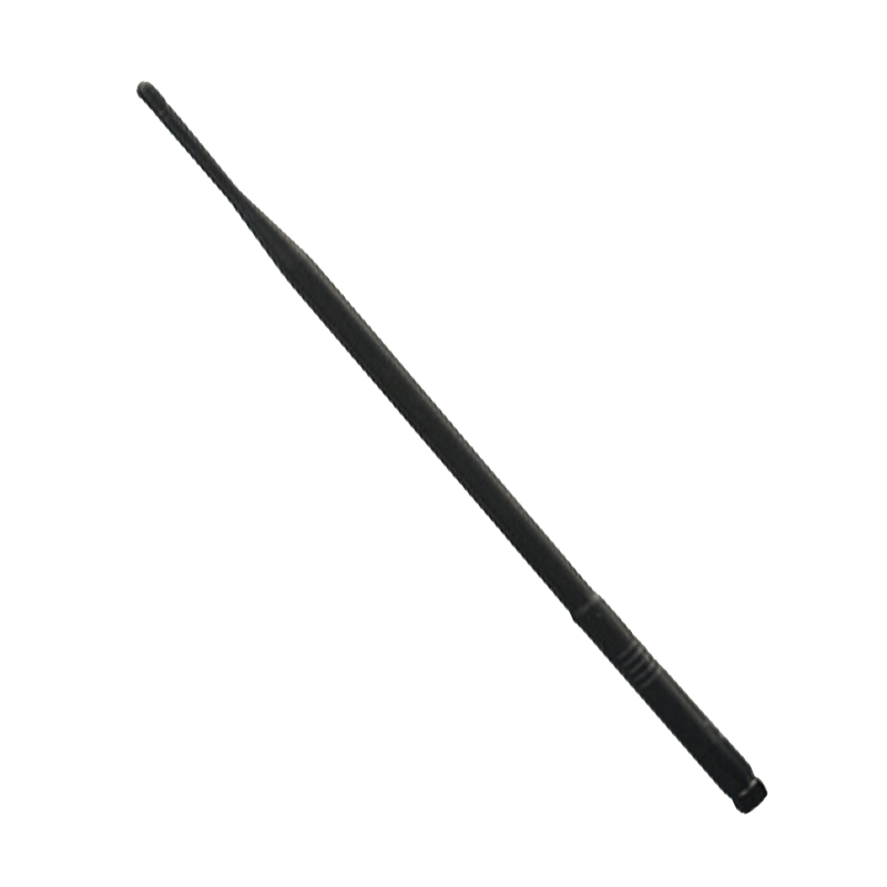
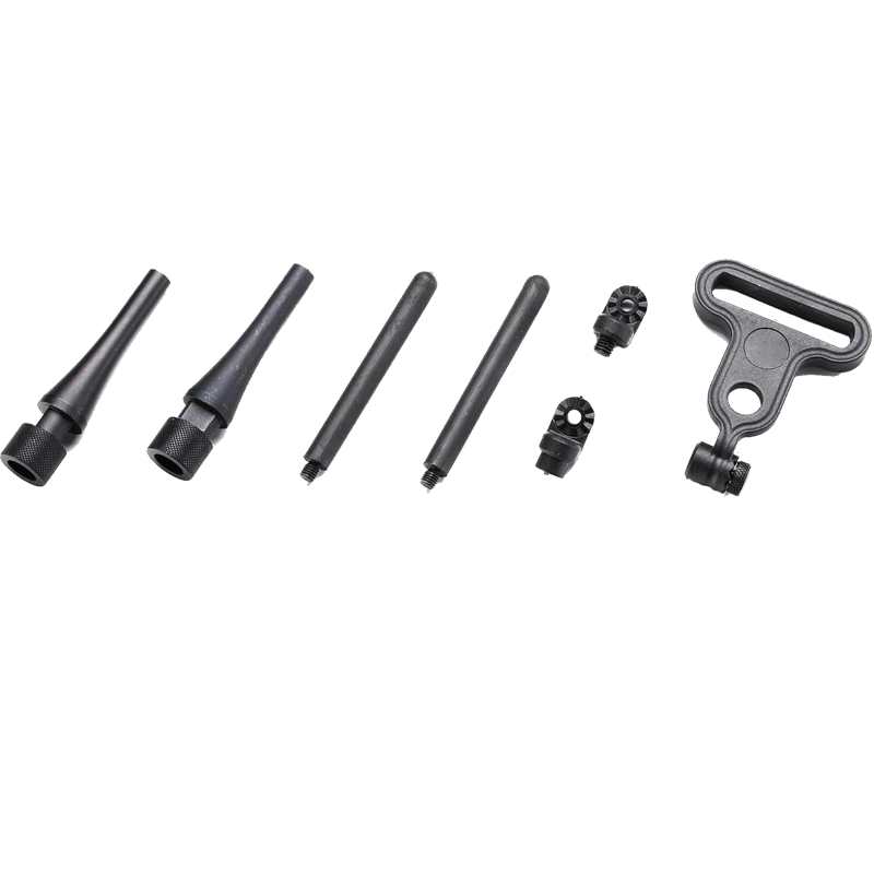
- Standardboot (Urban camo) Baitboat Bag 8 * Batteriepack für das Boot Mobilteil-Gummihülle Handschalter für Futterboot V3 Handschalter für Futterboot V2 USB-LADEGERÄT
- Sonar
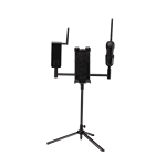
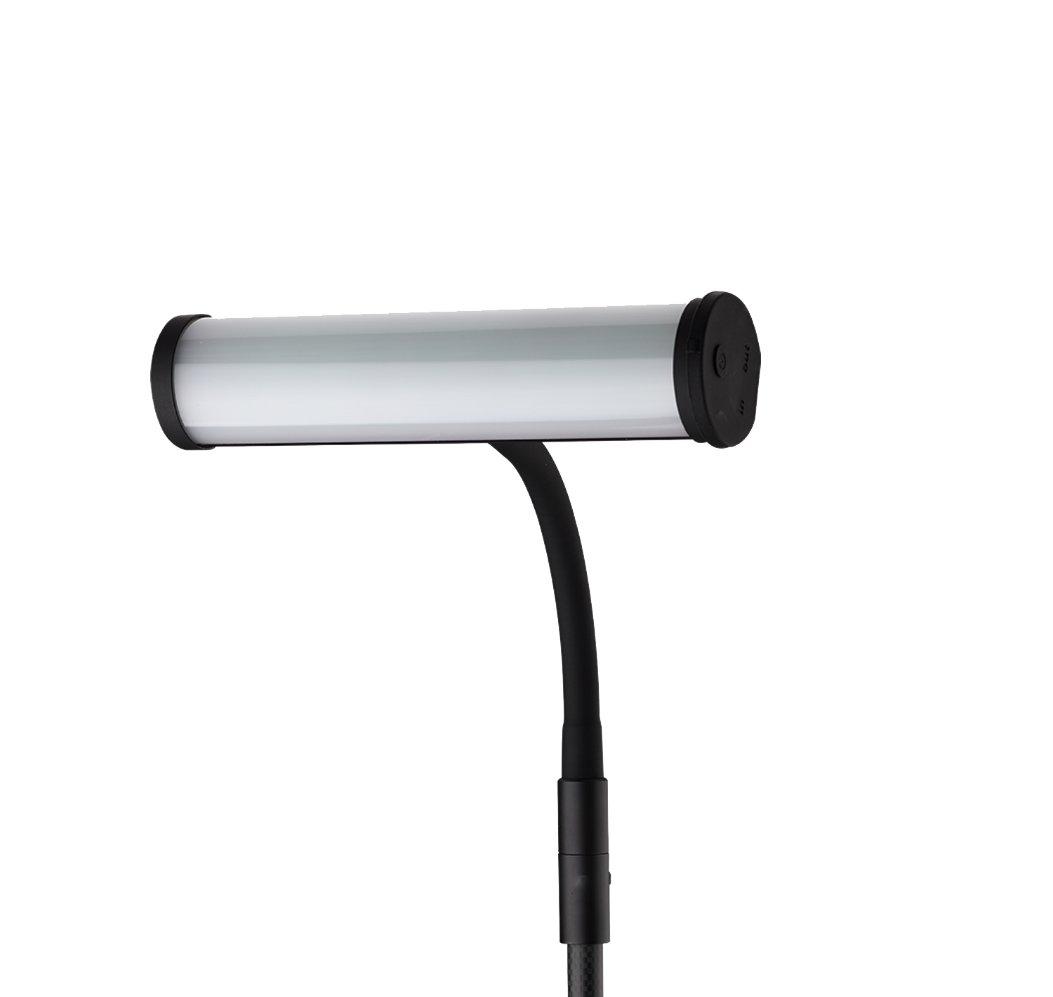
- Integriertes Sonar-Futterboot (BT7) Sonarhalterung (BT5) Eingebautes Sonar-Kit (BT6) WLAN-Extender (BT4) Telefon- und Controllerhalter (BT10) Pad & Controller Dreibein (BT11)
- Bite Alarm
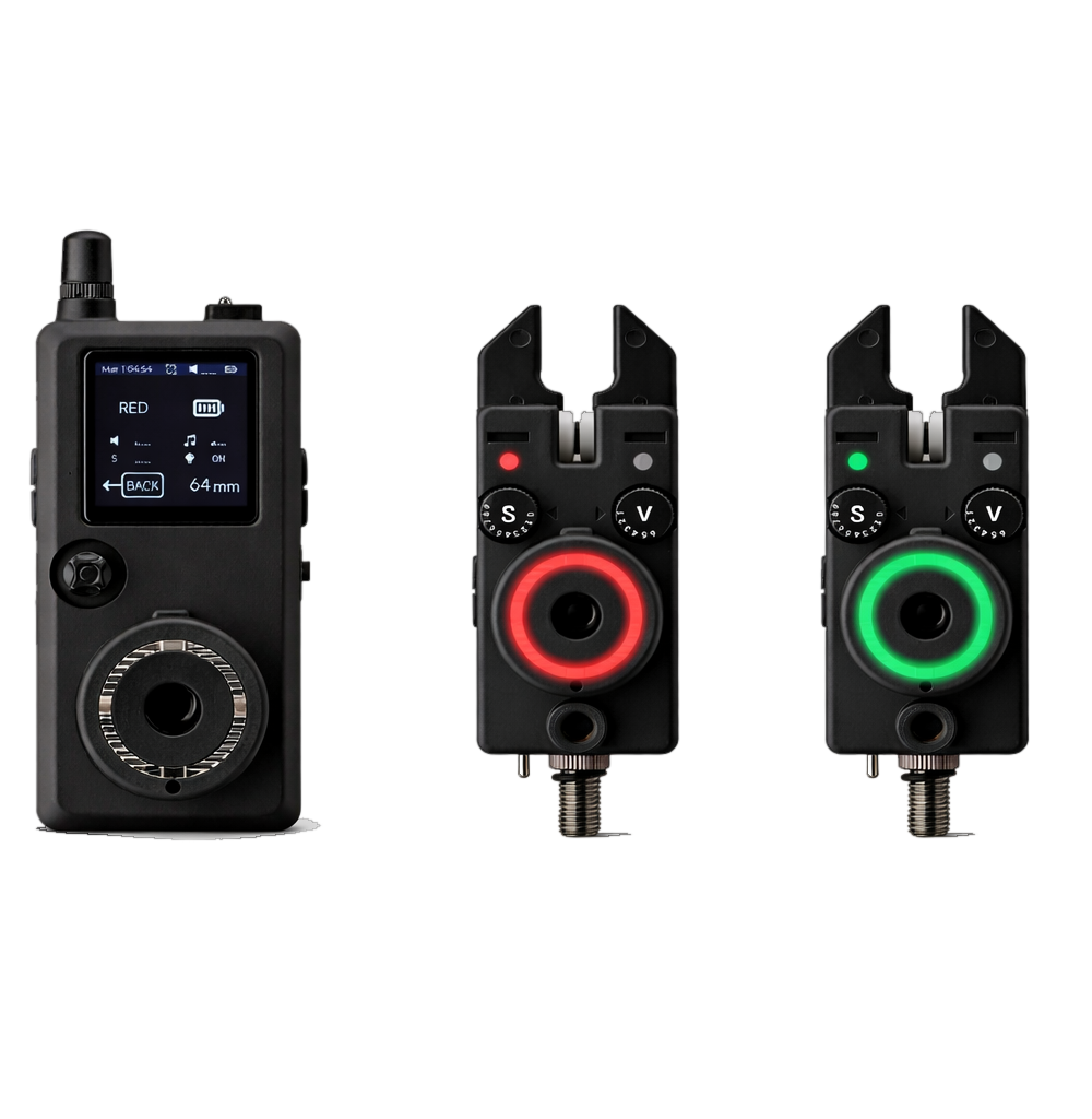
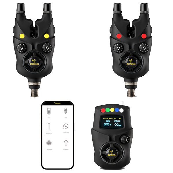
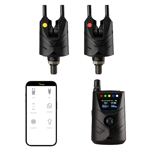
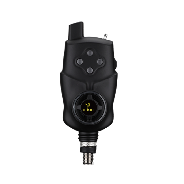
- K15/R15 Bite alarm set NK9S Bite alarm NS9pro Bite alarm Smart Bivvy Light Ultra K16 Anti-Diebstahl-Alarm NTH9S
- Products
- Timeline
- Support
- About us
- Login


BEETACKLE AUSWERFBARES SONAR BT12
Übersicht
Technische Daten
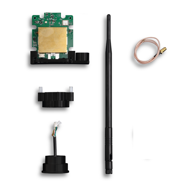
Betriebsfrequenz: 2,4 GHz Wi-Fi (lizenzfreies Band in Europa)
Sonartyp: Schmal 680 kHz (7° Kegel)
Mittel 230 kHz (20° Kegel)
Breit 100 kHz (47° Kegel)
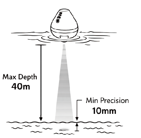
Tiefenbereich: 30 cm – 40 m
Akkulaufzeit: Bis zu 4 Stunden
Akku: 3,7 V Li-Ion, 1000 mAh
Verbindung: Wi-Fi (100 m stabile Reichweite, erweiterbar auf 150–200 m mit Wi-Fi-Extender)
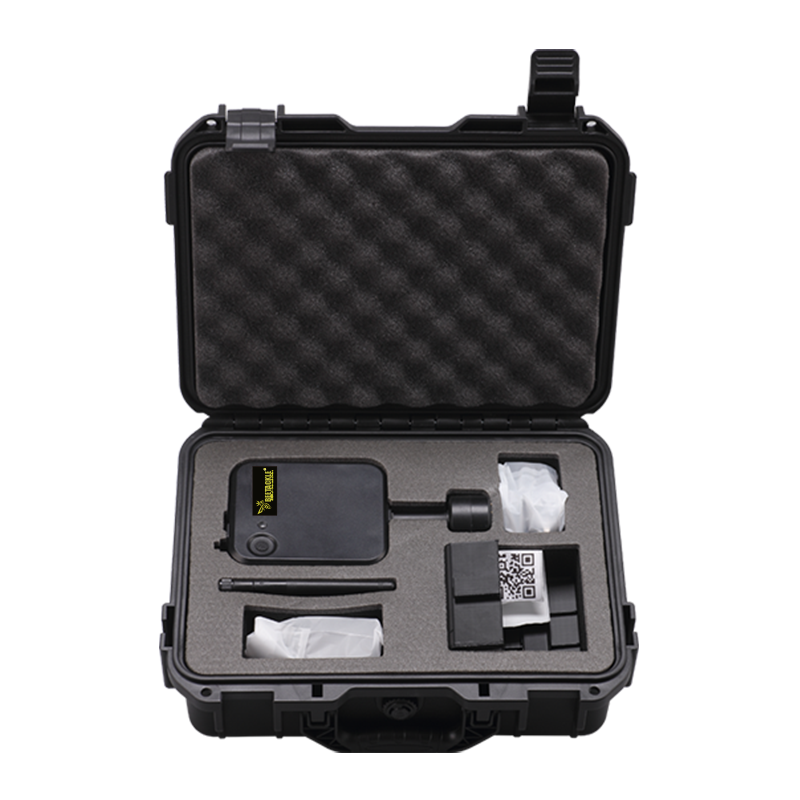
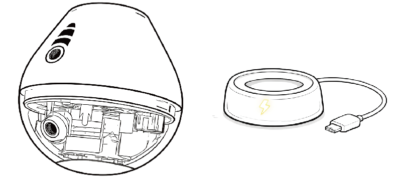
Lieferumfang
1 * Auswerfbares Sonar
1 * Kabelloses Ladegerät
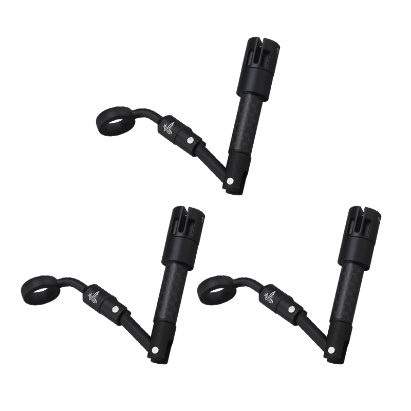
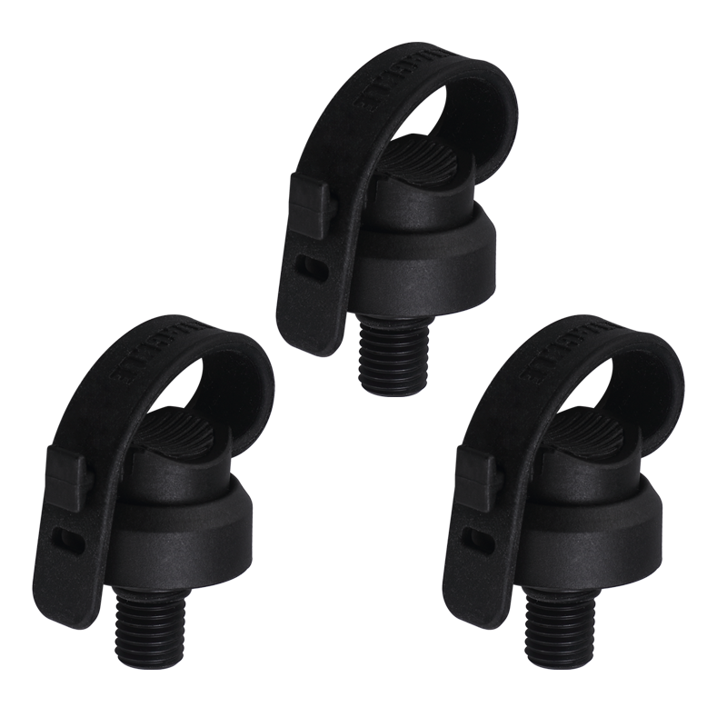
1 * Angelrutenhalter
1 * Armhalterung
1 * Handyhalterung
1 * Armband
Laden
Kabelloses Laden dauert etwa 2,5 Stunden. Eine dauerhaft leuchtende LED zeigt an, dass der Akku
vollständig geladen ist. Bis zu 4 Stunden Betriebszeit mit einer einzigen Ladung.
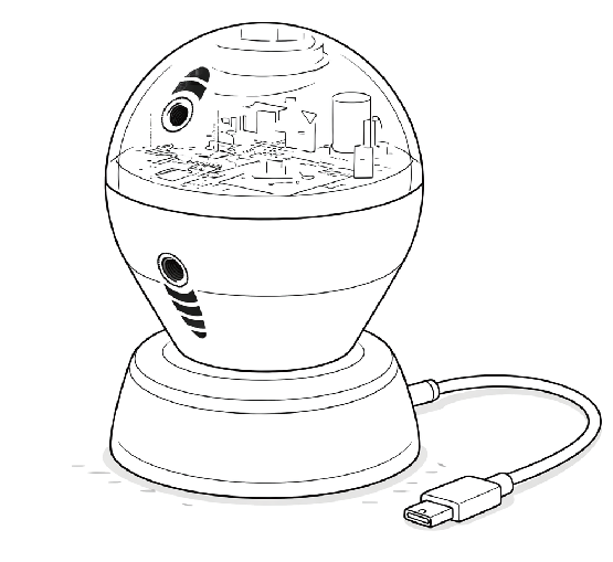
Dreimaliges Blinken zeigt einen niedrigen Akkustand an. Bitte laden Sie das Sonar rechtzeitig auf.

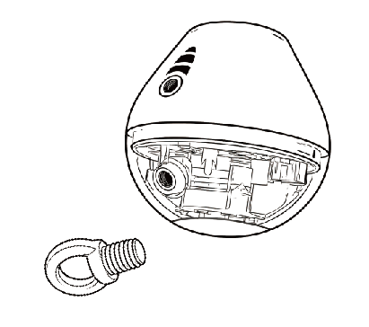
Sonar installieren
Befolgen Sie die Abbildung, um das Sonar an Ihrer Angelschnur zu befestigen.
Wählen Sie je nach Ihrer Position über der Wasseroberfläche den passenden Schraubmontagepunkt,
damit das Sonar beim Einholen senkrecht zum Flussboden bleibt.
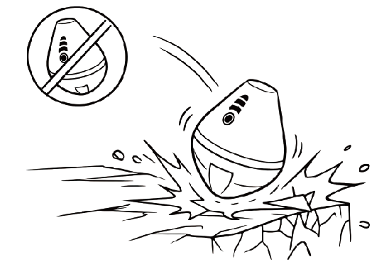
Vermeiden Sie es, das Sonar während des Wurfs gegen harte Gegenstände zu schlagen.
Schäden, die durch solche Stöße entstehen, sind nicht von der Garantie abgedeckt.
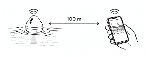
Reichweite
Die Kommunikationsreichweite zwischen dem Sonar und dem Smartphone beträgt bis zu 100 Meter.
APP
1. Laden Sie die APP über den folgenden QR-Code herunter:

2. Sonar ein-/ausschalten & mit der App verbinden
3. Die Kontrollleuchte schaltet sich im Wasser ein, blinkt nach der App-Verbindung schnell und das Sonar schaltet
sich automatisch nach 5 Minuten außerhalb des Wassers aus.
4. In der App:
Mobile Daten deaktivieren, Mit dem Sonar-Hotspot verbinden. Auf „Start Detection“ tippen. Für Online-Karten: Mobile Daten wieder aktivieren.
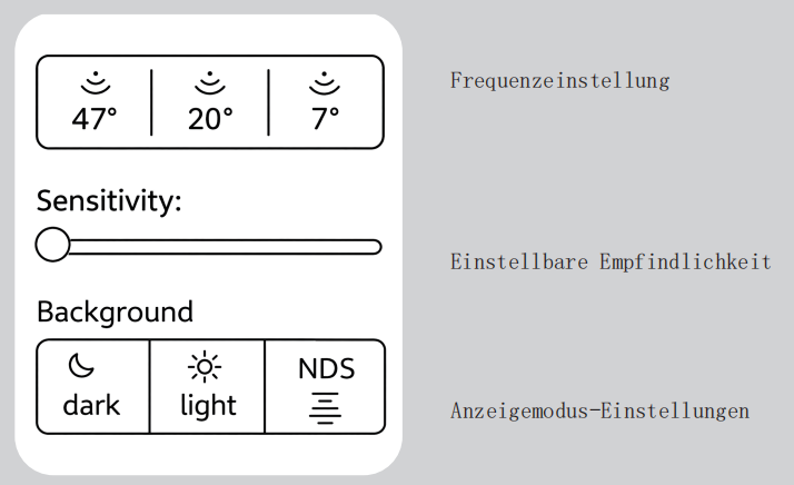
Frequenz & Winkel
Das Sonar bietet drei Frequenzen mit entsprechenden Scanwinkeln. Höhere Frequenzen liefern eine feinere Darstellung, jedoch mit einem
kleineren Abdeckungswinkel.
Frequenz Winkel Empfohlene Bewegungsgeschwindigkeit
680kHz 7° langsam
230kHz 20° mittel
100kHz 47° schnell
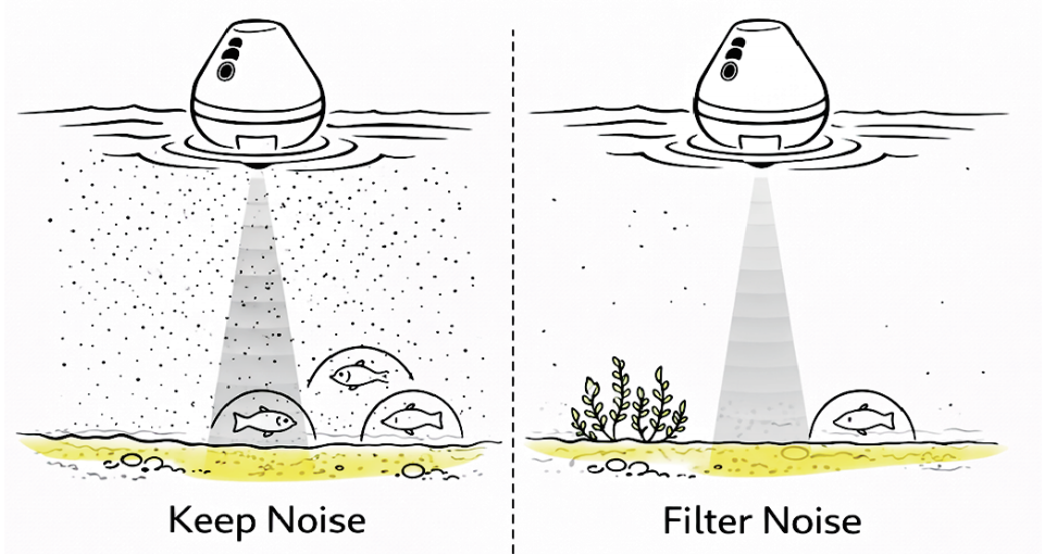
Einstellbare Empfindlichkeit
Die Empfindlichkeit kann in der App angepasst werden, um Anzeigerauschen zu filtern.
Tiefe & Genauigkeit
Dieptebereik: 0,3 m – 40 m. Tiefenbereich: 0,3 m – 40 m.
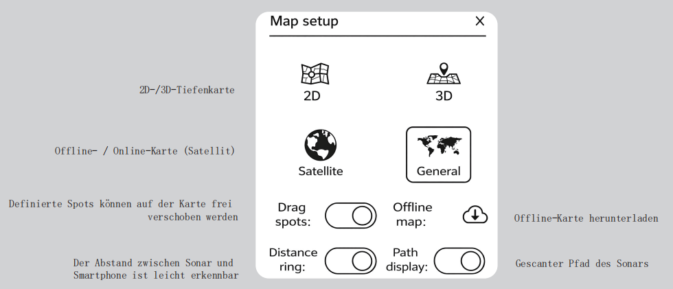
Sonar-Einstellungsoberfläche (App)
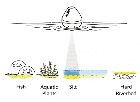
Flussbett & Schlamm & Wasserpflanzen & Fische
A. Flussbett
Wenn das Sonarsignal das Flussbett erreicht, erscheint es gelb (Tagmodus) oder hellgrün (Nachtmodus).
Ein dickeres Farbband weist auf einen weicheren Untergrund hin, während ein dünneres Band einen härteren Untergrund anzeigt.
B. Schlamm
Wenn blaue (Tagmodus) oder braune (Nachtmodus) Echos rund um das Flussbett erscheinen, deutet dies auf das Vorhandensein
einer Schlammschicht hin.
C. Wasserpflanzen
Echos, die sich vom Flussbett nach oben erstrecken und zusammenhängende Strukturen bilden, werden in der Regel als Wasserpflanzen identifiziert.
D. Fische
Zwischen Flussbett und Wasseroberfläche werden bogenförmige Echos (Fischbögen) typischerweise als Fische erkannt.
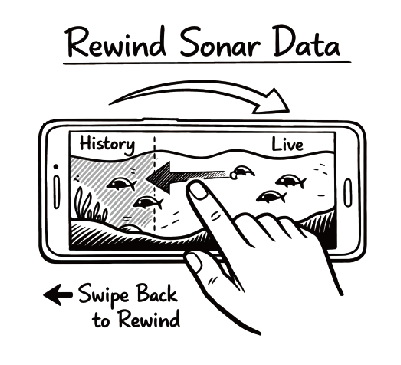
Zurückspulen & Doppeltippen
Während des Scannens können Sie durch Wischen auf dem Sonarbildschirm frühere Daten anzeigen.
Tippen Sie doppelt auf den Sonarbildschirm, um einen Spot zu definieren.
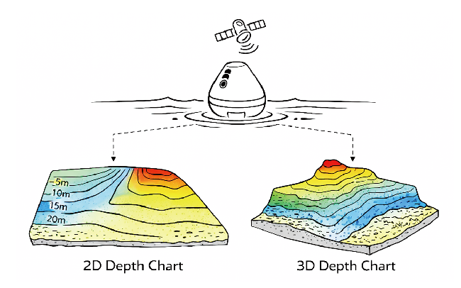
GPS & Tiefenkarte
Das integrierte GPS ermöglicht die automatische Erstellung von 2D-/3D-Tiefenkarten und sorgt für eine klare Darstellung der
Gewässerstruktur.
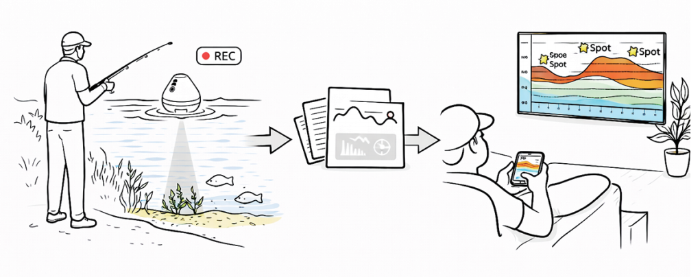
Daten aufzeichnen & Spots definieren
Scandaten können aufgezeichnet und in der App wiedergegeben werden, um die besten Angelplätze zu
identifizieren.
Karten-Einstellungsoberfläche (App)