- Home
- Products
- Bait Boat
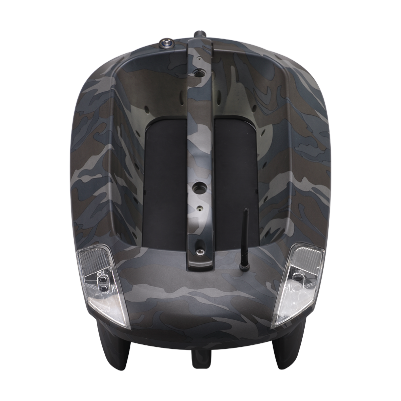
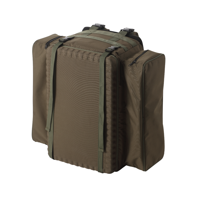
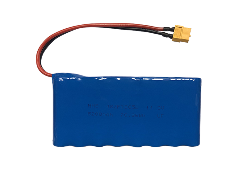
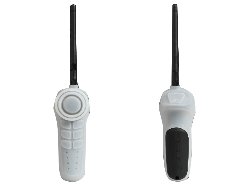
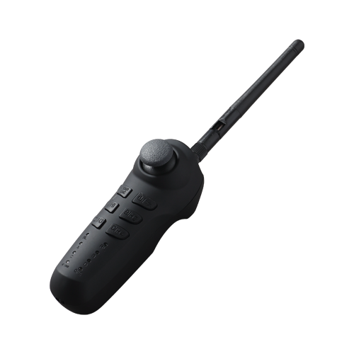
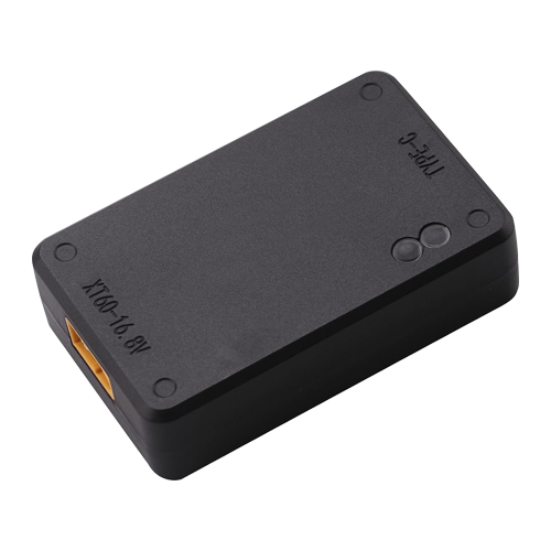
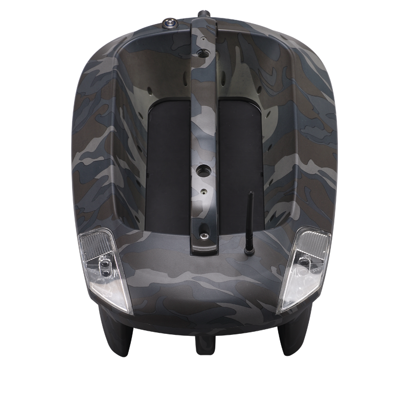
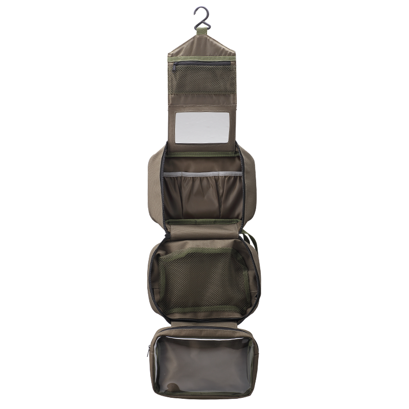
- Standard Bait Boat (Urban camo) Baitboat Bag 8 battery pack Handset case Handset V3 Handset V2 USBCHARGER
- Sonar
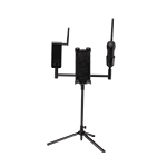
- Integrated Sonar BaitBoat (BT7) Mount sonar (BT5) Build-in Sonar kit (BT6) WiFi extender (BT4) Phone & controller holder (BT10) Pad & controller tri-stand (BT11)
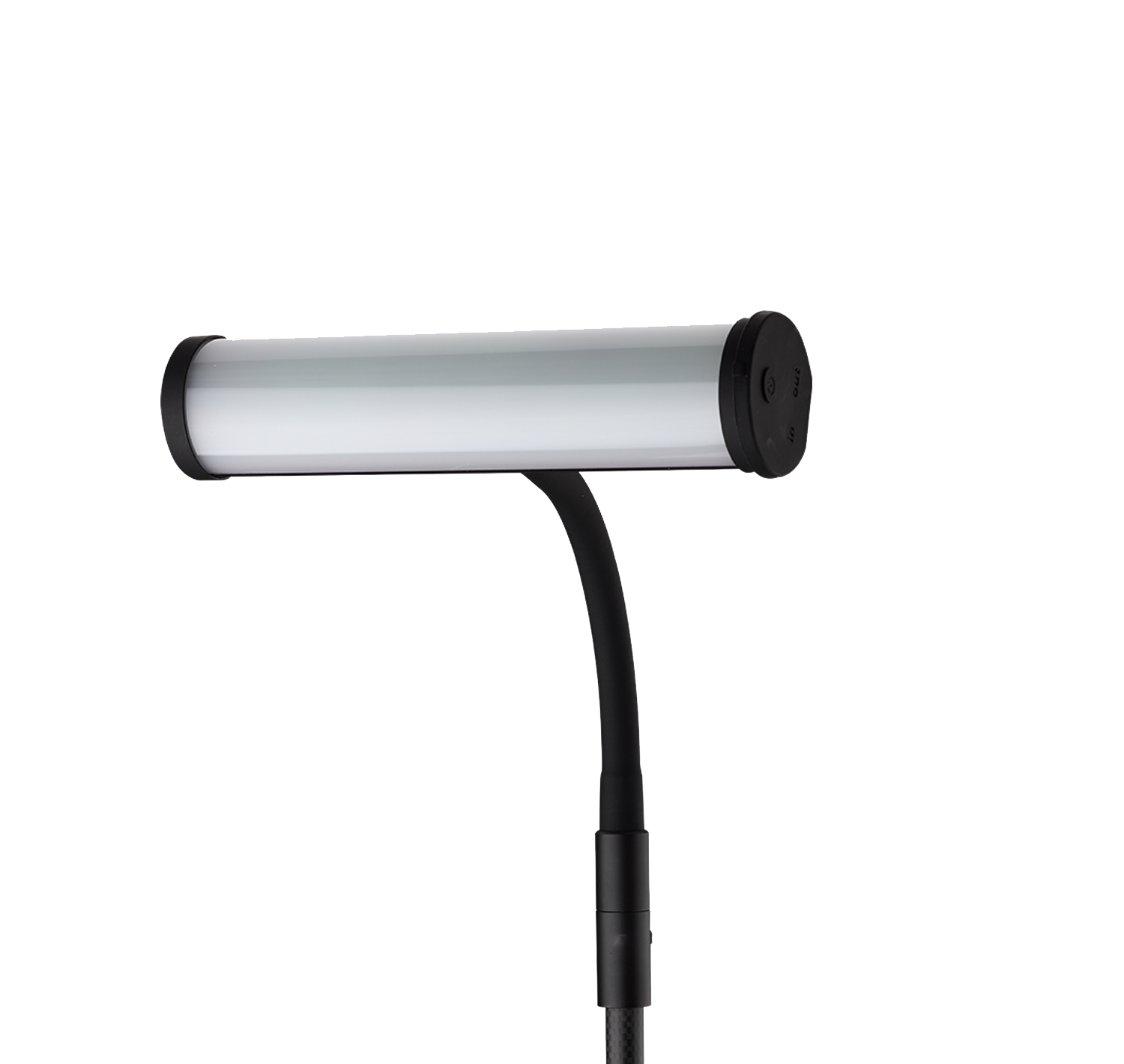
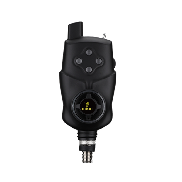
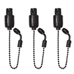
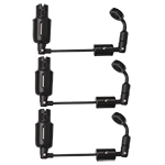
- Bite Alarm
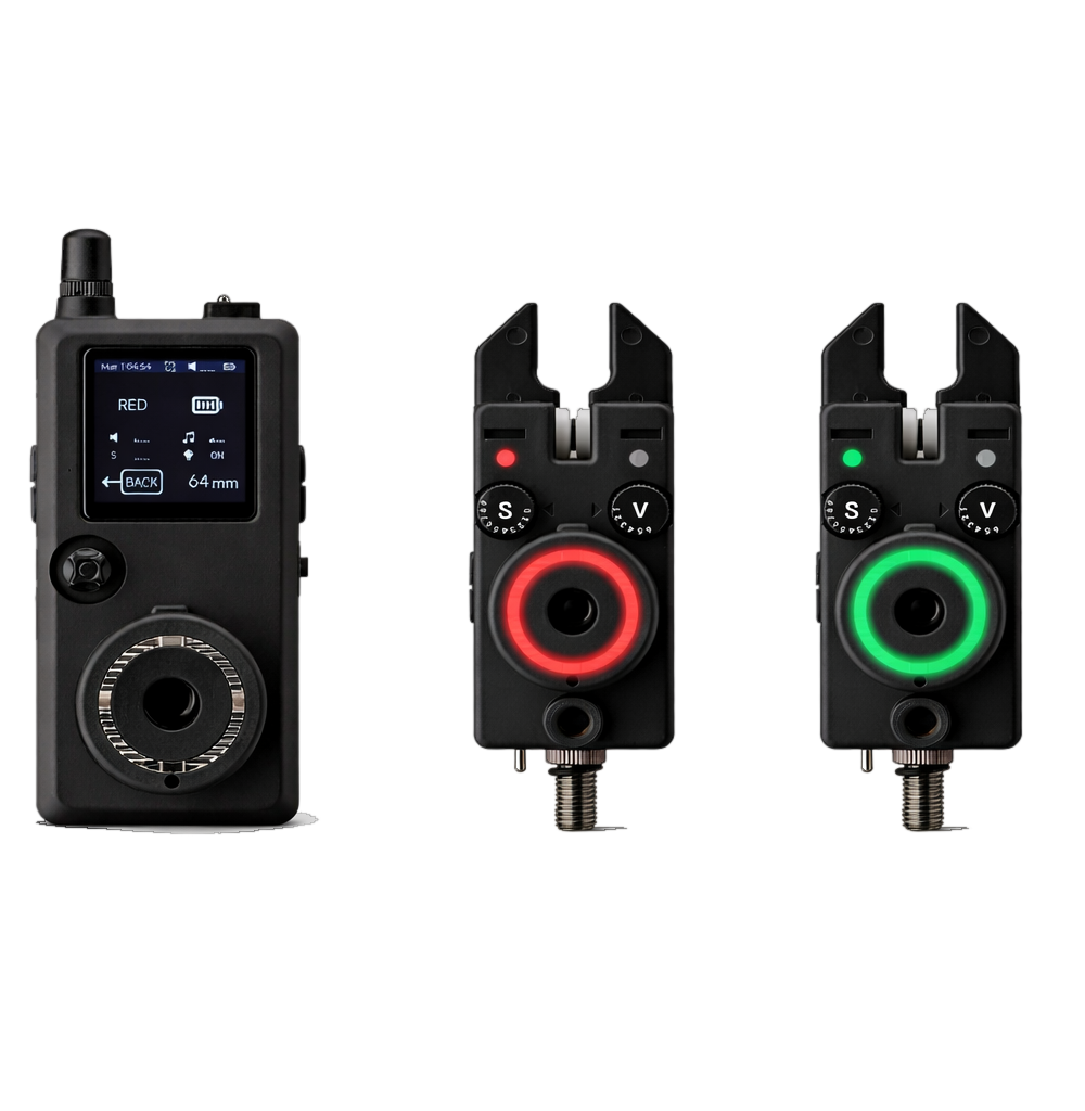
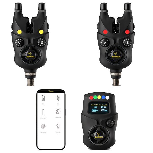
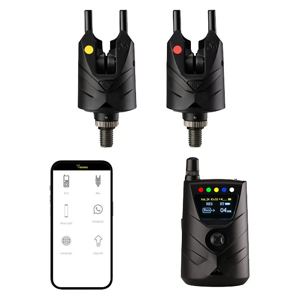
- K15/R15 Bite alarm set NK9S Bite alarm NS9pro Bite alarm Smart Bivvy Light Ultra K16 Anti-theft alarm NTH9S
- Products
- Timeline
- Support
- About us
- Login

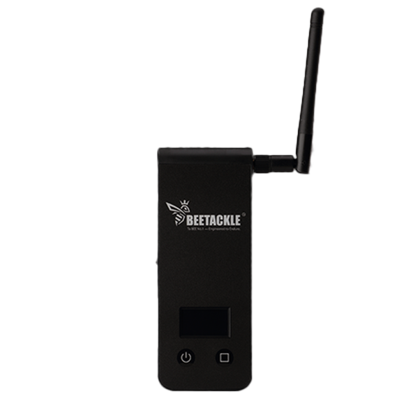


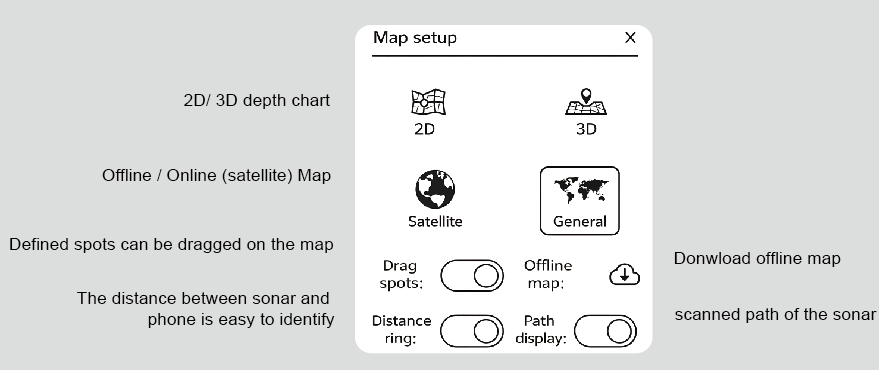
BEETACKLE CASTING SONAR BT12
Overview
Specification
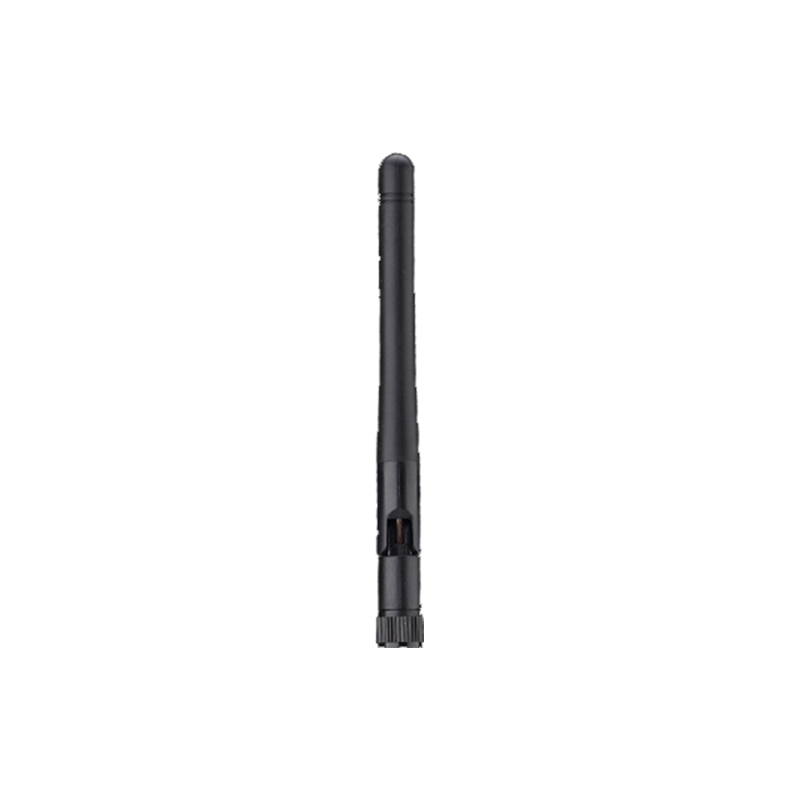
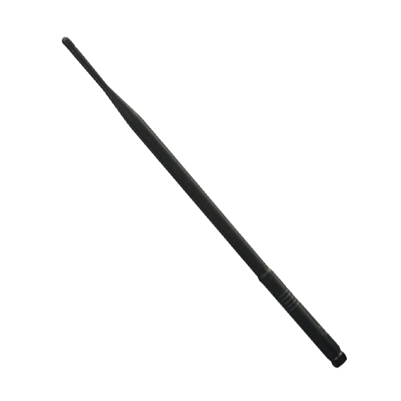
-Operating Frequency: 2.4G Wi-Fi (European License-Exempt Band)
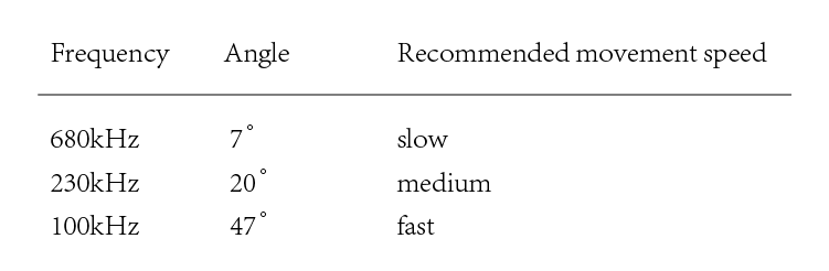
-Sonar Type: Narrow 680kHz (7° cone)
Medium 230kHz (20° cone)
Wide 100kHz (47° cone)
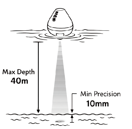
-Depth Range: 30cm – 40m
-Battery Life: Up to 4 hours
-Battery: 3.7V Li-Ion, 1000mAh
-Connection: Wi-Fi (100m stable range, extends to 150m - 200m with Wi-Fi Extender)
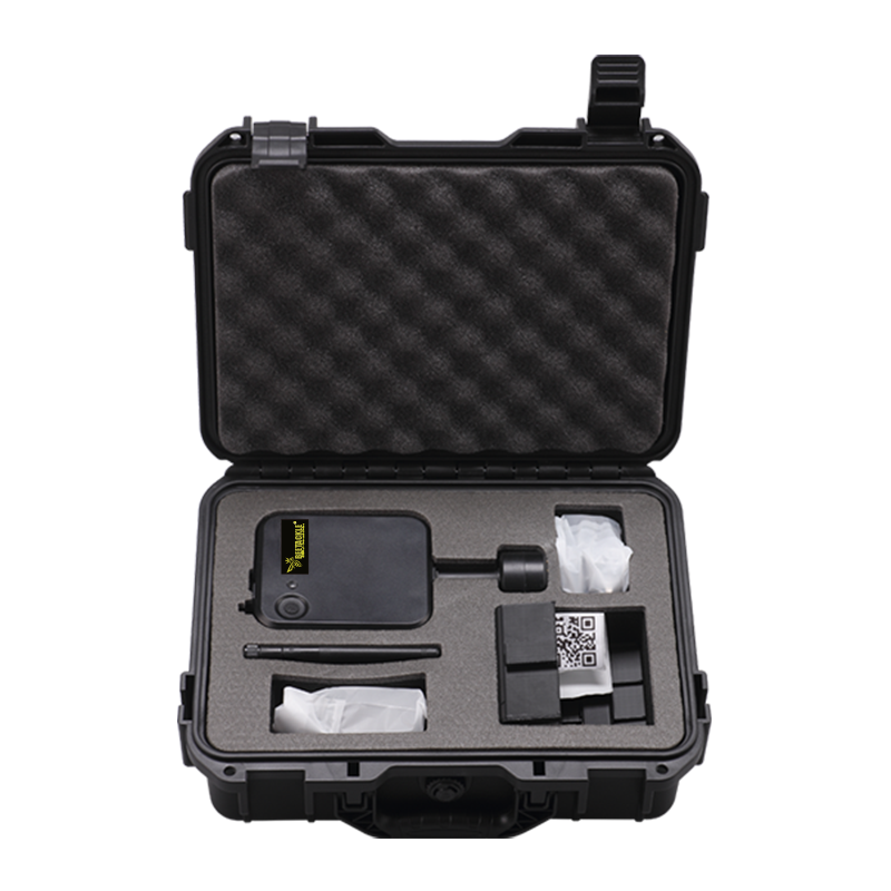
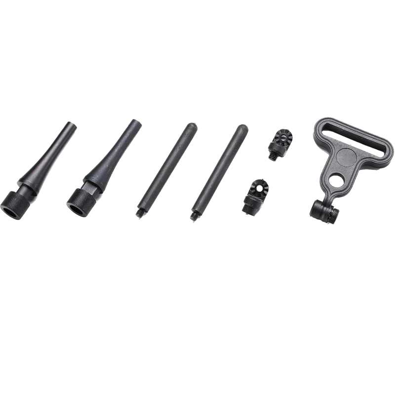
Package Contents
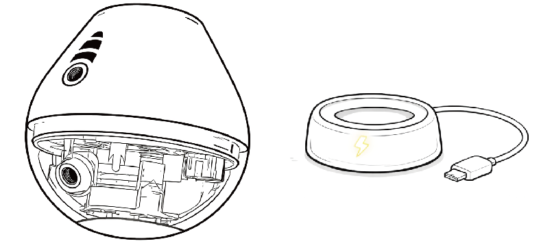
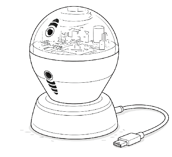
1 * Castable sonar
1 * Wireless charger
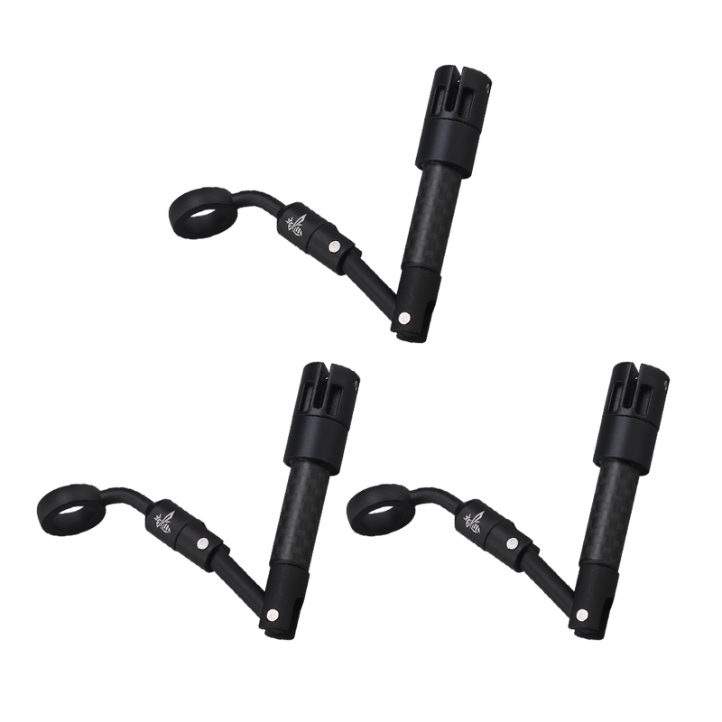
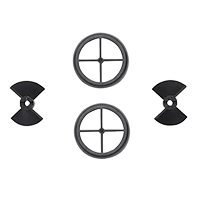
1 * Fishing rod connector
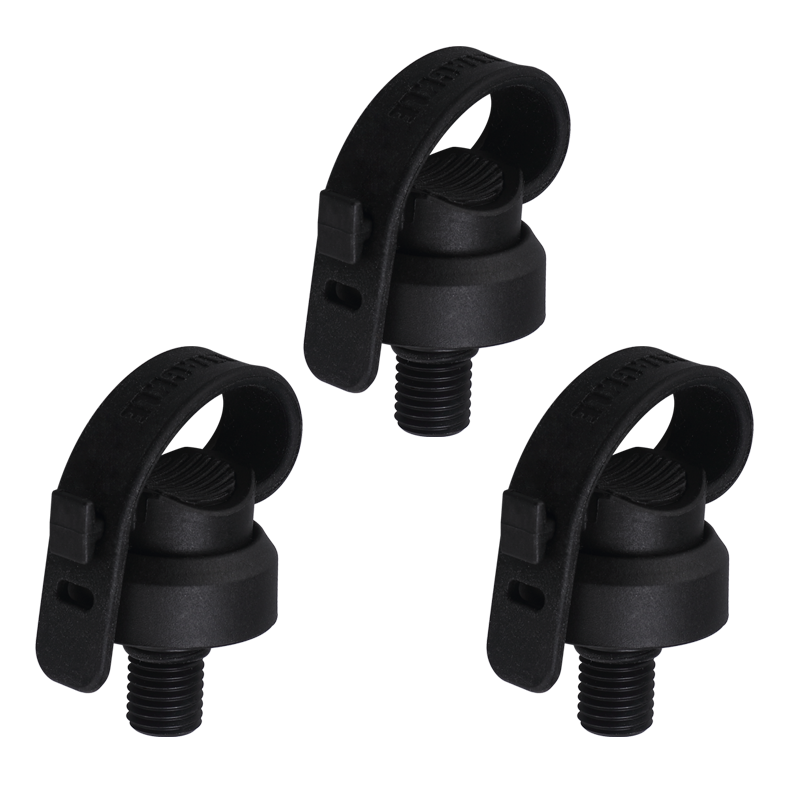
1 * Wrist connector
1 * Phone stand
1 * Wristband
Charging
Wireless charging takes about 2.5 hours. A steady LED indicates a full charge. Up to 4 hours of use on a single charge.
Three repeated flashes indicate a low battery. Recharge the sonar.

Install Sonar
Follow the illustration to attach the sonar to your fishing line.
Select the appropriate screw mounting point based on your position above the water to keep the sonar vertical to the riverbed during retrieval.
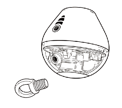
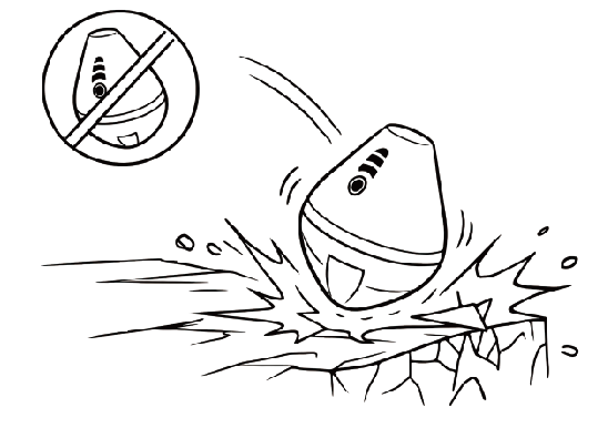
Avoid impacting the sonar against hard objects during casting. Damage caused by such impacts is not covered by the warranty.
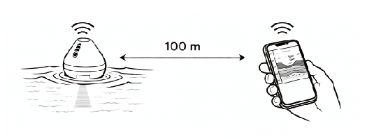
Range
The communication range between the sonar and the smartphone is up to 100 meters.
APP
1. Download the APP via the QR code below:

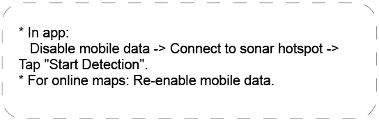
2. Turn on/off sonar & connect to app
The indicator light turns on in water, flashes rapidly after app connection, and the sonar powers off automatically after 5 minutes out of water.
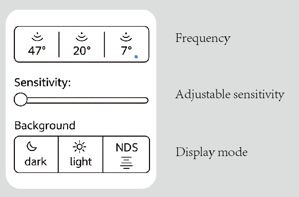
Frequency & angle
Provides three frequencies with corresponding scanning angles. Higher frequencies deliver finer imaging with a narrower coverage angle.
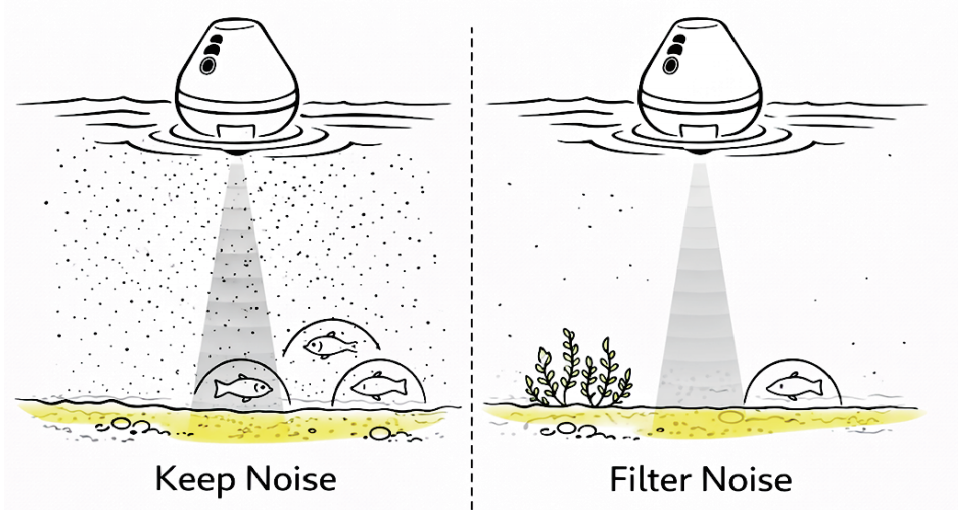
Adjustable sensitivity
Sensitivity can be adjusted in the app to filter display noise.
Depth & accuracy
Minimum resolution: 10 mm. Depth: 0.3m - 40 m.
Sonar settings interface (APP)
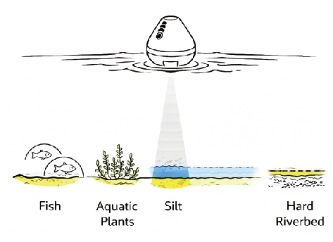
Riverbed & Silt & Aquatic plants & Fish
A. Riverbed
When the sonar signal reaches the riverbed, it appears as yellow (Day Mode) or light green (Night Mode).
A thicker color band indicates a softer bottom, while a thinner band indicates a harder bottom.
B. Silt
If blue (Day Mode) or brown (Night Mode) echoes appear around the riverbed, this indicates the
presence of a silt layer.
C. Aquatic Plants
Echoes that extend upward from the riverbed and form continuous
structures are generally identified as aquatic plants.
D. Fish
Between the riverbed and the water surface, arch-shaped (fish arch) echoes are typically identified as fish.
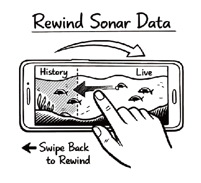
Rewind & Double-tap
During scanning, swipe the sonar screen to review
previous data. Double-tap the sonar screen to define a spot.
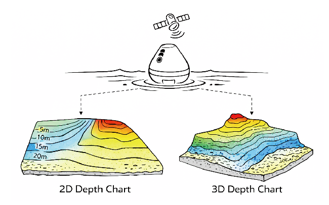
GPS & Depth Map
Built-in GPS enables automatic 2D/3D depth mapping for clear visualization of the riverbed.
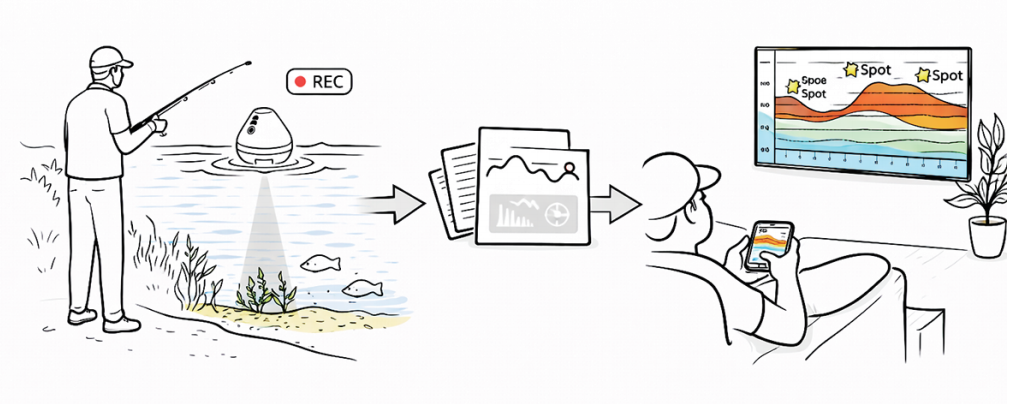
Record data & Define spots
Scan data can be recorded and replayed in the app to help identify the best fishing spots.
Map setup interface (APP)